User manual
Data selection
Data for the purchase can be selected using map window or database search by entering parameters. You do not need to login for these operations.
Data selection - map window
The default map shows the general overview of the Czech Republic. The objects are visible in the map from the scale of 1:100 000. Therefore, use shift and zoom to find the desired areas.
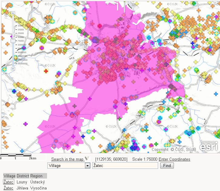
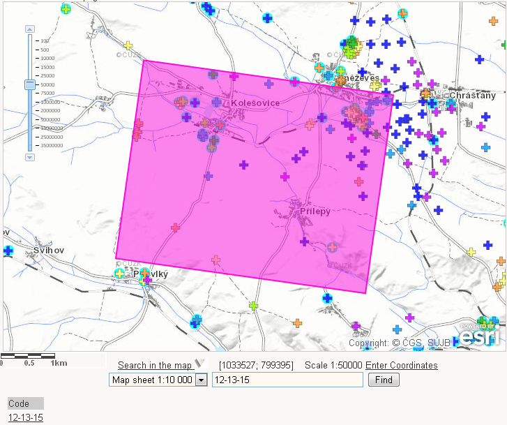
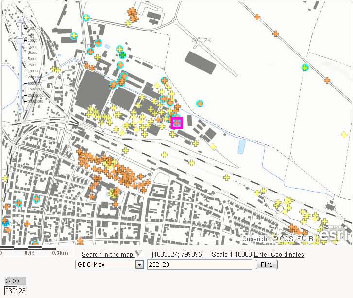
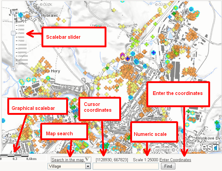 The selection can also be specified by inserting the name of the village, the geologically documented object identifier/ number (GDO) or the Map sheet code.
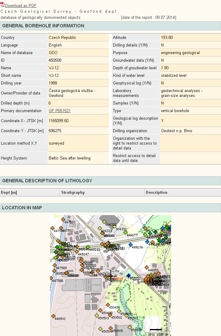
The object metainformation is visible after clicking the object. You can add the selected object to the cart by clicking on symbol  for geological profile or
  for hydrogeological data - see image :
 The recently viewed extent of the map is kept in the application’s memory even after leaving the page with the map section.
For more detailed search in the scale of 1: 5000 and lower you can change the base map for orthophotos ČÚZK by clicking on the link below the map. Here you can choose the very detailed scale up to 1: 945 to distinguish individual objects that lie close to each other, up to 2 m detail. CGS is not responsible for the operation of orthophoto mapping service ČÚZK. If there is any difficulty to distinguish the spatial objects we recommend using the database search.
Data selection from the database
You can select the object by entering the conditions to the database search form. The result is the list of selected objects. You can see the
Cart and the purchase
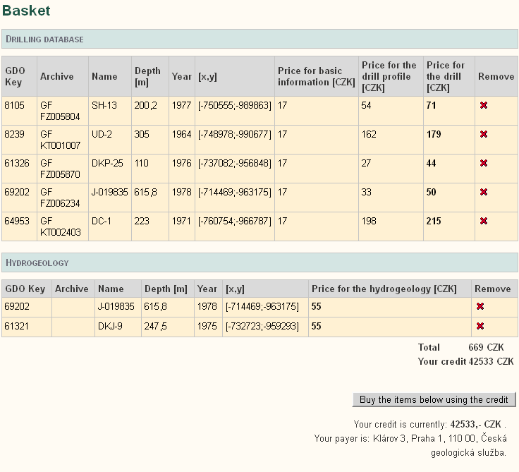
The selected items are placed in the cart. It can be filled regardless of the logged-in, but to make a purchase, you must be log-in. If you do not have yet the account, or if you have problems with log-in, please contact the department of data services
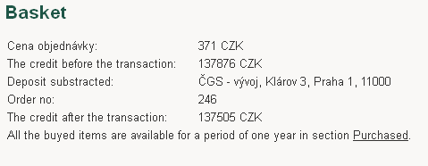
After clicking on buy button, the credit is decreased and the buyed items are added to the purchased list:
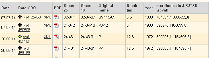 .
.
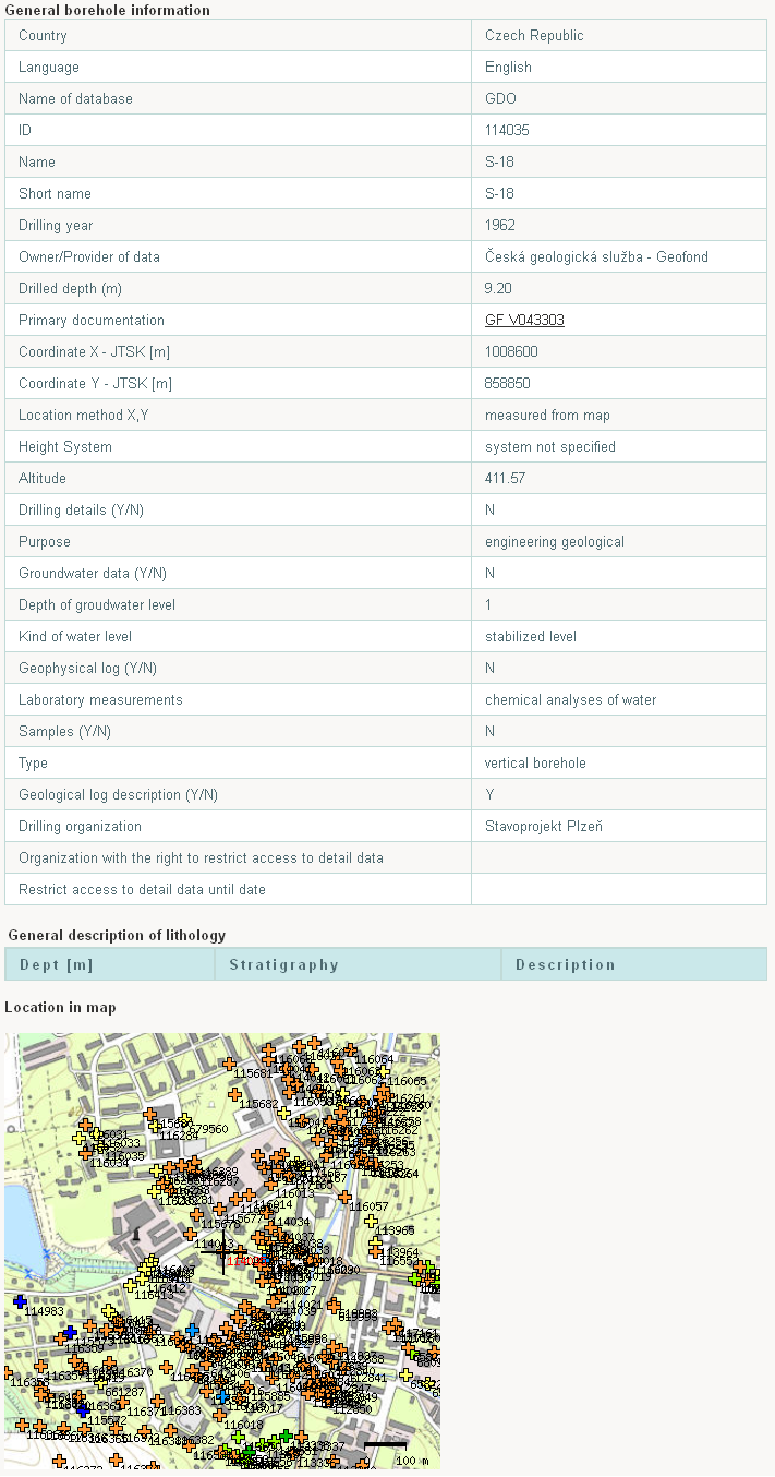
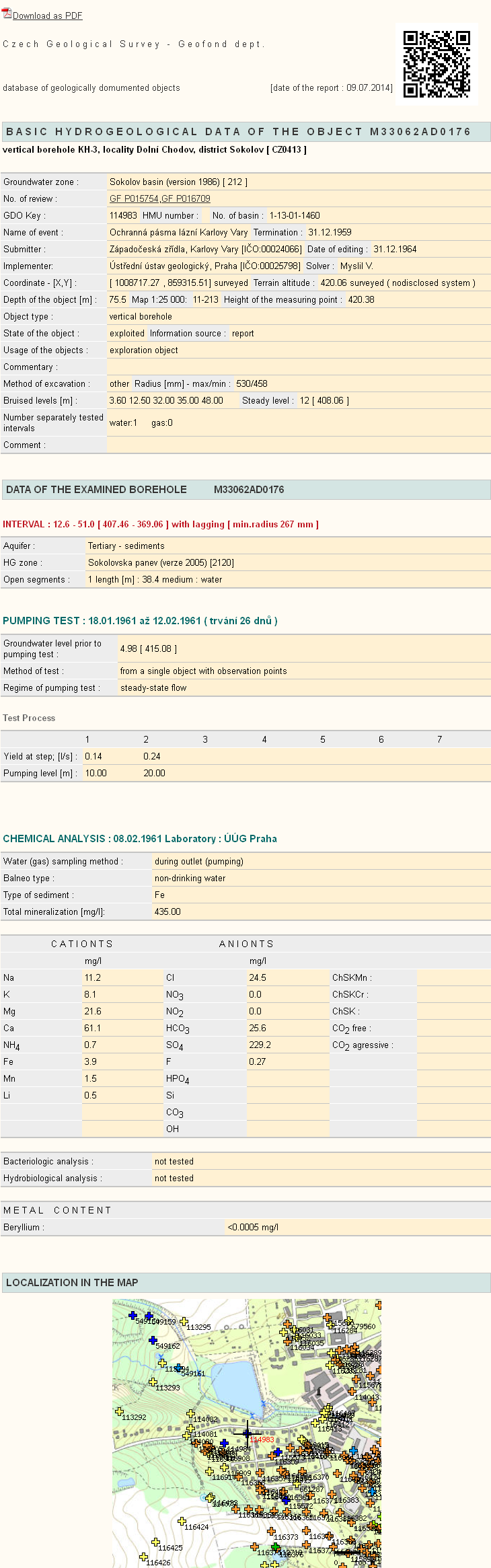
Below are the examples of outputs - the geological profile (eEarth) and the hydrogeological data (eWater):
Application comments and notices
In case of any problems, ambiguities or if you have any questions you can contact as also by the contact form.